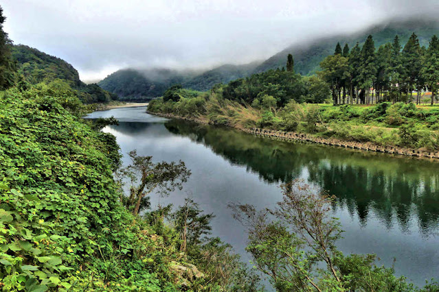
Early morning, October 15th, 2021, and I begin the 3rd leg of my walk along the south bank of the Gonokawa River to its source. I head along the top of the embankment out of the settlement of Imbara, where the Nigori River enters the Gonokawa.
When the embankment ends I have to cross the disused tracks of the former JR Sanko Line. I have been following the tracks since leaving the mouth of the river in Gotsu.
Imbara has the busiest crossing of the river since leaving the mouth at Gotsu. Route 261 has been following the river on the opposite bank to me but at Imbara it does a 90 degree turn and crosses the river and then follows the Nigoro River up into the mountains and then on to Hiroshima.
As with the whole journey so far, the opposite bank continues to be the most populated and with the busier road.
Another distinction between the two sides is that it was the border, until the Meiji Period, between the Hamada Domain... the side I'm on,.. and the Iwami Ginzan Territory, controlled directly by the Tokugawa Government.
I did read once that whereas most borders that followed rivers, the border would be considered the middle of the river, in this case the Tokugawa actually controlled both banks of the river.
Before reaching the outskirts of Kawamoto, there were few properties on this side of the river. Though Imbara was not so big in terms of population, its transportation junction is home to the biggest retail businesses since leaving Gotsu.... some national chain drugstores and home garden stores as well as the only pachinko parlor in the area and a Michi no Eki.
Kawamoto is the biggest town on the river since leaving Gotsu and is unusual in that it has chosen not to be merged into a larger "city". In historical times it was home to a small domain with several small castles.


Lovely and interesting post. Thanks.
ReplyDeletevery nice,
ReplyDeleteGabi from Okayama
.
Thank you for all the wonderful photographs. I wish you a wonderful and happy 2025.
ReplyDeleteAnother Wow. Your photographer's eye is amazing. Lily
ReplyDelete