The 88 temple pilgrimage route on Shikoku pretty much follows the coast all the way round the island, and as all rivers head to the sea there are an enormous number of rivers, large and small, to cross.
In former times there would have been some bridges to use, but for many of the rivers it would have been necessary to wade across or use a ferry boat. Now we are just whisked across on ribbons of concrete and steel and so do not really get encounter what a barrier they often were.
The first photo is of the great Yoshino River which must be crossed to get to temple eleven from temple 10. It is 194 kms long, the second longest in Shikoku, and passes through all 4 prefectures on its way to the sea. It is one of the "three great rivers of Japan".
Ther second photo is of the Akui River which you have to cross after temple 12. The bridge is some stout planks connecting concrete supports. Like many rivers in japan this one is very popular for ayu fishing. The Akui runs into the Yoshino.
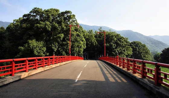
The third photo is the Tatsue River you must cross via a vermillion bridge to get to temple 19.
The fourth is the Nakagawa between the two mountain temples 20 and 21. It was on the banks of this river that I spent 2 days riding out the typhoon.
After temple 22 the route takes you right along the coast. There are many small rivers, most too small to be names, like this one at Tainohama beach. Its nice to see a river lined with stone rather than concrete.


